| Hazard Avoidance |
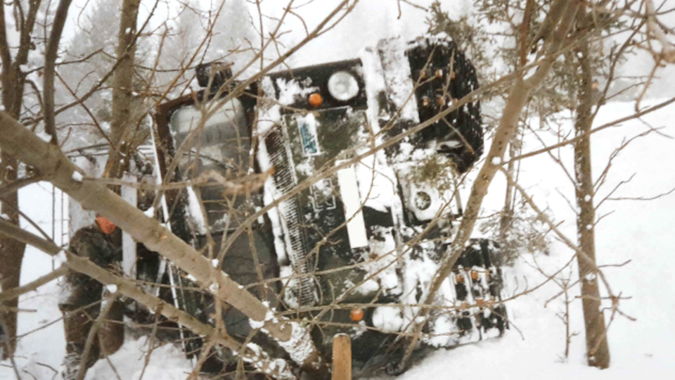
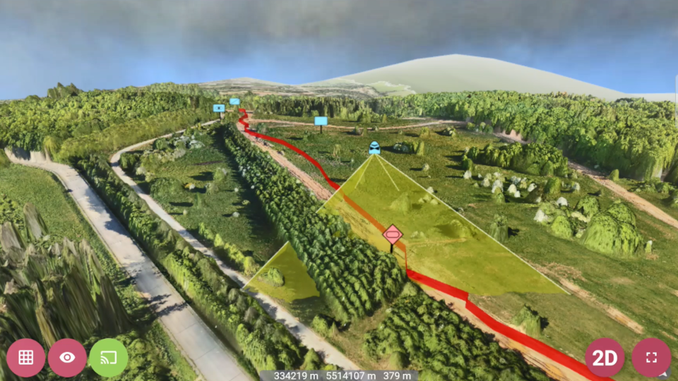
Traveling off-road always bears the risk of getting in difficult situations where the vehicle might get immobilized. By visualizing a color-coded 3-dimensional display of the current environment, path4X helps to recognize hazardous situations. The position in the 3D model is adjusted automatically using GNSS data. |
| Routing |
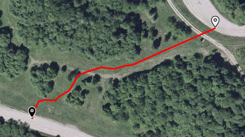
Find the way cross-country as easily as on paved roads? path4X also provides routing capability. The basis for this is an off-road network of routes that can be derived from mobility prediction. The vehicle position is provided by GNSS and as the vehicle moves along the route gets updated accordingly. |
| Mobile Information System |
The technological basis of path4X is a fully fledged mobile information system. All kinds of data can be integrated (e.g. vector, raster, 3D). The system can also be used to collect and share new data. As such, multiple applications can be realized, such as red force and blue force tracking, line of sight analysis or target assignment. |
| GIS Data Processing |
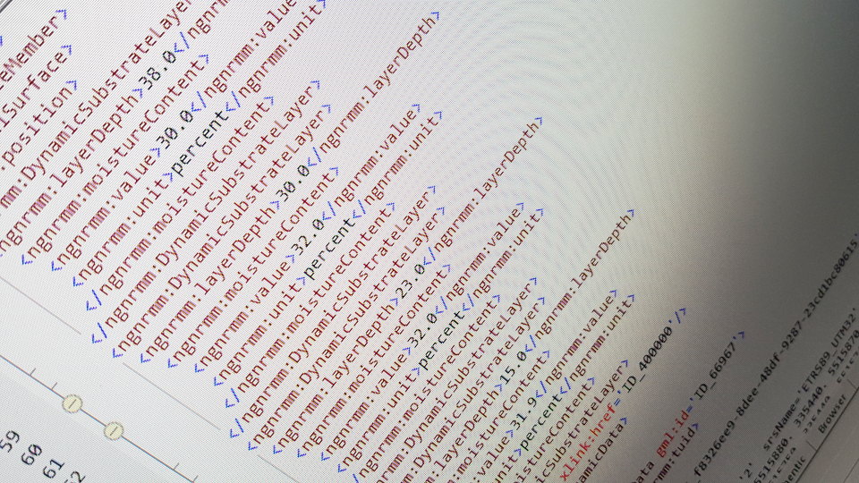
Combining data from various sources into an integrated data set as a basis for mobility prediction is challenging in most cases. This can be accomplished by using a GIS that offers both powerful functionality and the flexibility to adapt to the data at hand. Part of path4X is a data processing tool based on its own desktop GIS core, providing the necessary flexibility. |