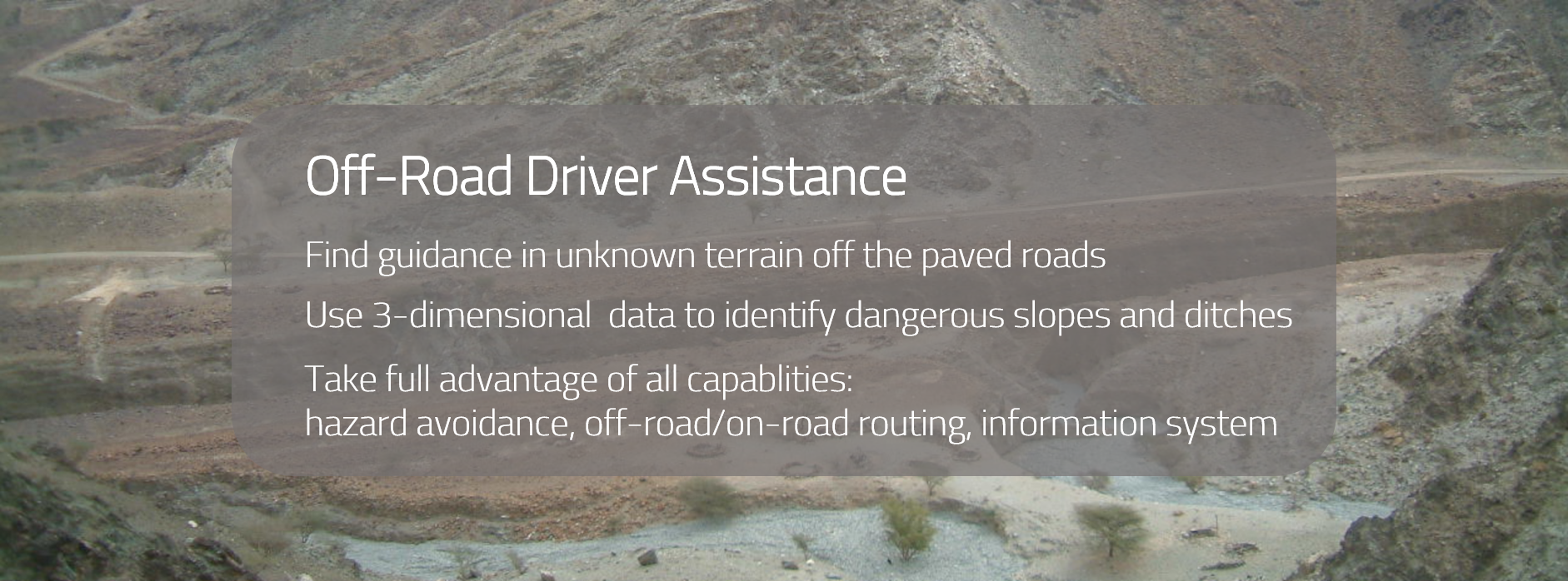
path4X is a system for off-road driver assistance that does not only use map data but also data about the 3-dimensional shape of the earth to predict mobility. While the shape of the surface can be used to predict the vehicle behavior on a hard surface, additional data on soil and moisture can even enable prediction on soft soil mobility.
Based on the mobility prediction a color-coded map or 3D view enables the driver to assess which parts of the terrain might be dangerous for the vehicle to travel. There are several examples of past accidents that could have been prevented using this approach. path4X helps to save lives and equipment which is crucial for any mission.
The mobility prediction can also be used to derive off-road routes that can be fused with the street network to create a combined on-road/off-road routing capability. Temporarily or permanently impassable areas can be taken into account and routes automatically adjusted.
The technological basis is a geographic information system that is able to handle data of many sorts. Apart from the use and visualization of preexisting data, the system also features collection of new data in the field. A technological basis to share data among mission part-takers is also included.
All these capabilities make path4X the optimal platform for any off-road mission.